Last night, I was so sleepy that I was in bed by 8:30 with lights out at 9:00. Fabulous!
This morning, I woke up refreshed and did my AT Test run. I ran down to Greenlake and then ran the inner loop (gravel) at 80%. Definitely glad to stop when it was over!
4.5 AT Test Run @ 00:50:00
Inner Loop @ 00:22:16
152a, 159m
Spin class offered an extra helping of butt-whooping with an unecessary number of sprint sets (4, if anyone is wondering...). Tired legs.
Spin Class @ 00:50:00
I received the nicest reply from the Baker Lake 50k Race Director when I asked about elevation.
There is no elevation map, because elevation gain/loss is insignificant. Many marathons have more elevation change. That is not to say that it doesn't roll along, with ups and downs, like one most wooded trails along mountain lakes, but they are all runnable! Elevation change would be less than 1,000 feet, I would bet, but I don't think anyone has used an altimeter. The USFS has the difference between the north and south end of the trailheads at 400 feet.
Essentially, what to expect is to run 1.75 miles on road/gravel road(which includes going over Upper Baker Lake Dam), 28 miles on forested trail along Baker Lake (with an aid station halfway, at the turnaround), then the 1.75 miles back across the dam to the S/F.
Because of all the up/down, and just the nature of having to be alert for footing hazards (rocks, roots, moss, etc.), you will be tired when you finish. There are a lot of bridges to cross that can be slippery. But just looking from an elevation perspective, it is a lake run, not a "mountain" run.

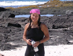
Umma
-
Later this month, I am taking a trip with my Mom, my Umma. We are going to
a tropical island for five days. I am doing this voluntarily and it's not
someth...
3 years ago
No comments:
Post a Comment